
Community programs · Canada
Drone training for Indigenous communities
Local knowledge. Lasting capability.
We help Indigenous communities across Canada develop or expand their own search and emergency response programs through drone training and operational support.
We work with community leadership and response teams to shape training, equipment planning and operating procedures around community-defined priorities. From missing-person searches to flood assessment, the program builds on existing skills and local knowledge, under community direction.
Start a conversationCapability that stays
Your team. Your priorities.
An effective response begins with people who know the land, the waters, the seasons and the community. A community drone team adds an aerial view to that knowledge, supporting the people already responsible for searches and emergency decisions.
AertactX helps communities develop the training, procedures and practical routines needed to operate their own drone capability. The goal is a team that can continue independently, with additional support available when the community chooses it.
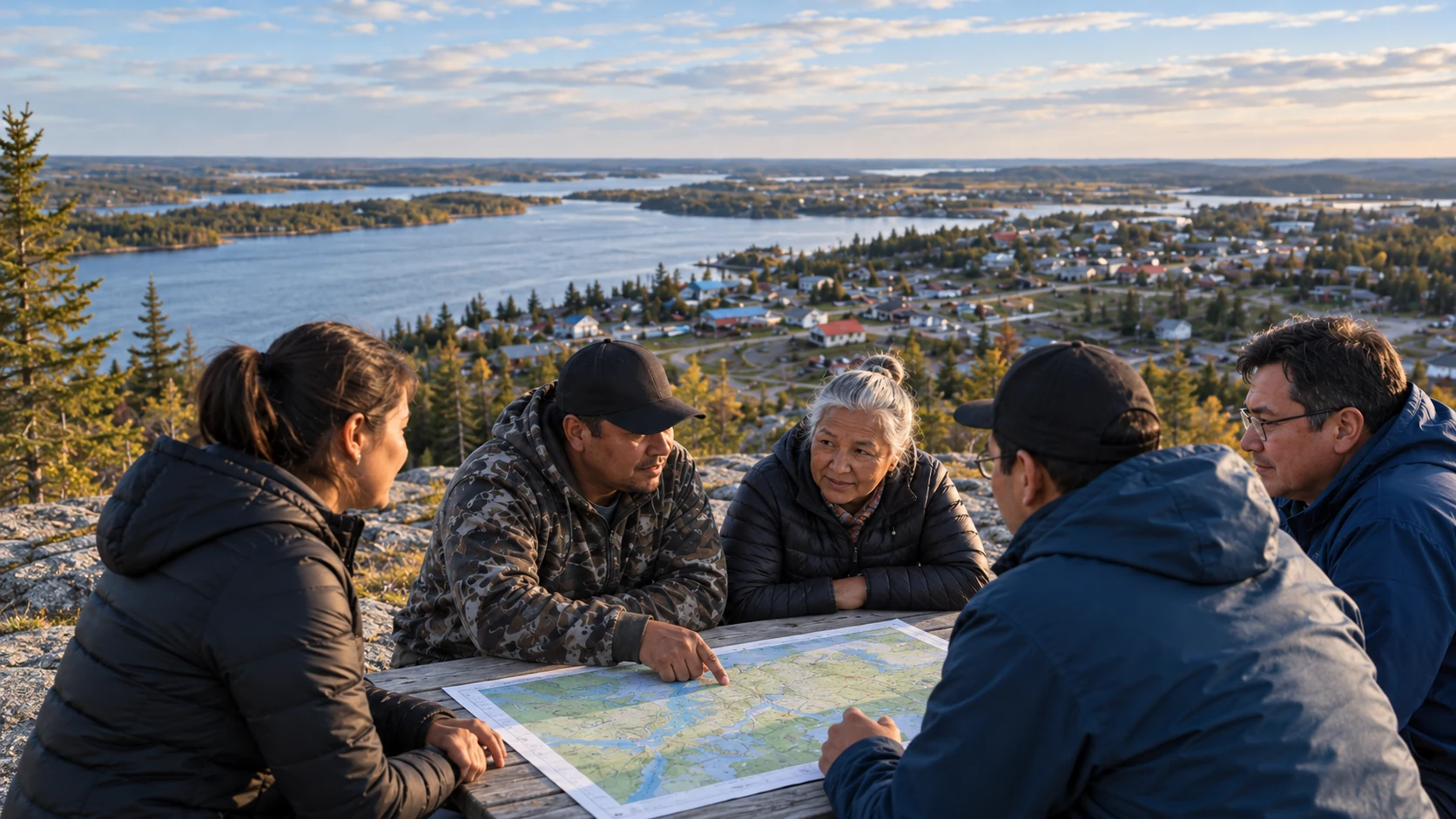
Illustration unavailable.
-
Community direction
Community leadership and designated operational leads determine the program's priorities, participants, schedule and scope. Planning follows the community's own governance and decision-making processes, with AertactX providing technical guidance and training.
-
Local knowledge leads
Aerial observations support search leadership and existing command structures. Local experience remains central to interpreting conditions and deciding what happens next.
-
Ownership stays local
Community-purchased aircraft, mission imagery, search records and project-specific operating documents remain under community control. Before operations begin, we agree with the community on what information will be collected, where it will be stored, who can access it and how sharing decisions will be made.
-
Equipment and support.
Your choice.The community selects its equipment supplier and decides whether ongoing AertactX support is useful. We provide guidance on equipment suitability and operating costs, and receive no commission on equipment purchases.
Practical applications
What your drone team can do.
Choose the capabilities that matter most to your community. Training and equipment are matched to the work your team expects to do.
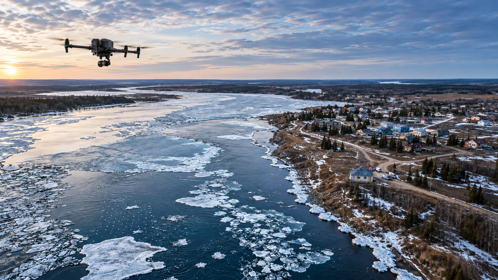
Illustration unavailable.
-
Search for missing people
Use thermal and zoom cameras, systematic search patterns and day or night search techniques to support ground teams. Share useful observations with community searchers, Canadian Rangers where involved, and the people directing the search.
-
Flood and ice-breakup assessment
Capture repeatable views of ice conditions, water levels, shorelines and access routes. Comparing imagery over time can help emergency-management teams understand changing conditions and plan their response.
-
Emergency mapping
Produce overhead imagery and annotated maps showing road conditions, access routes and visible damage. Give decision-makers a shared picture of the areas they need to assess.
-
Community operations
Apply the same aircraft and skills to infrastructure checks, site documentation and other community-directed tasks, within the community's information rules and the requirements for each flight.
Know the tool's limits. Drones add information to a response. Ground searchers, aircraft crews and local judgment remain essential. Weather, icing, darkness, battery endurance and sensor limitations affect what can be done. Learning when to fly, when to stop and when to use another approach is part of the program.
Five building blocks
More than training. A complete capability.
A sustainable drone program brings together trained pilots, practical search skills, suitable equipment and clear operating procedures. We work with your community to select the program components and delivery stages that fit its priorities.
-
Pilot certification preparation
A structured learning pathway through the pilot certificates appropriate to the agreed program, with preparation for Transport Canada exams and required flight reviews.
-
Search and emergency response training
Field exercises in aerial search, thermal and night techniques, flood assessment and coordination with ground teams, with emphasis chosen around community priorities.
-
Procedures and program management
Standard operating procedures, training records, maintenance routines and safety-risk processes held by the community. For the full pathway, this includes development toward the community's own RPAS Operator Certificate readiness.
-
Independent equipment guidance
Advice on mission requirements, aircraft choices, cold-weather logistics and lifecycle costs. Optional selection and commissioning support helps the community assess and introduce aircraft it purchases directly.
-
Optional ongoing support
Recurrent training, remote mission support and program administration can continue after handover. The community decides what support it needs.
Start with your community’s priorities.
Let’s discuss the building blocks that fit your team.
A clear learning pathway
Build the foundation. Progress with purpose.
Training builds on participants' existing experience and supports those new to drone operations. Instruction combines demonstrations, guided practice and field exercises, with delivery adapted to the team's learning needs. The training stages are selected with the community to match its intended operations and program scope.
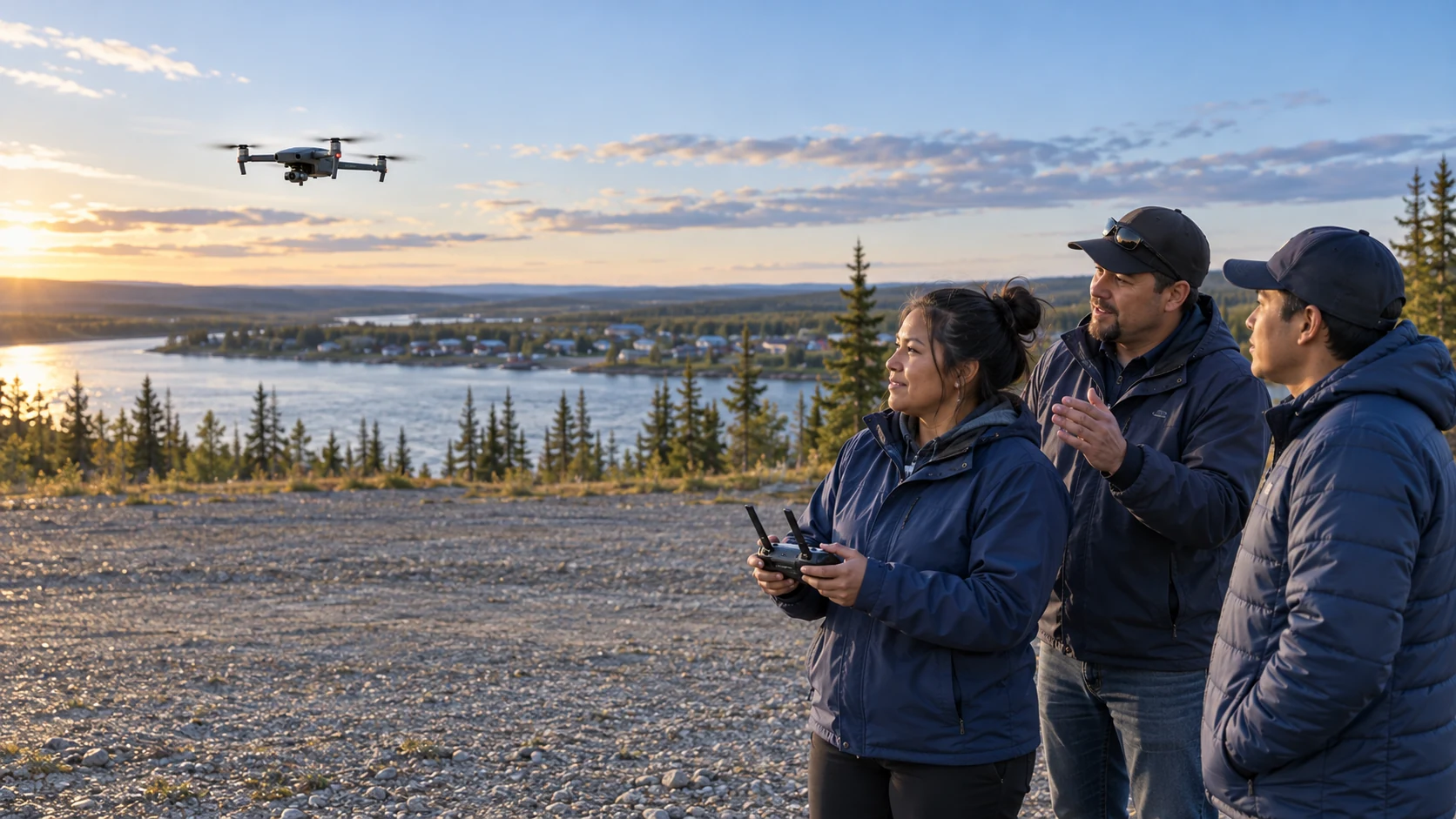
Illustration unavailable.
-
Basic Operations
Build a grounding in aircraft systems, weather, human factors, rules of the air and safe flying. Prepare for the Transport Canada Basic exam.
-
Advanced Operations
Develop mission planning, navigation, airspace awareness and radio procedures. Prepare for the Advanced exam and flight review, with training in the requirements that apply to the intended operations.
-
Level 1 Complex
Full pathwayPrepare for lower-risk flights beyond visual line of sight, including route planning, population-density assessment and contingency planning. This stage includes ground school and preparation for the Level 1 Complex exam and flight review.
-
Practical search assessment
Field exercises bring together search techniques, crew coordination and flight planning. AertactX assesses participants' performance against the program's practical requirements and documents the results.
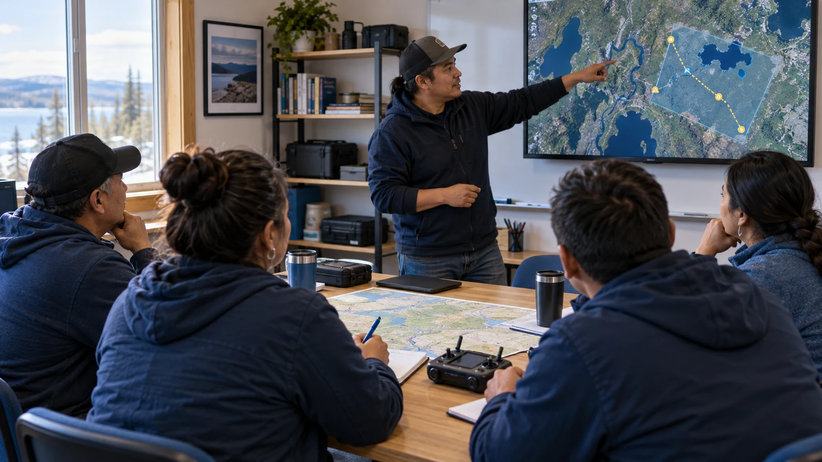
Illustration unavailable.
Certification and operational readiness
AertactX helps participants prepare for the Transport Canada pilot certificates needed for their intended operations. Transport Canada issues the certificates, while our practical search assessments document the skills participants demonstrate during field exercises.
Level 1 Complex operations also require an RPAS Operator Certificate (RPOC) and an aircraft meeting the requirements for the intended operation. The full program supports the community in developing that organizational capability. These flights remain subject to operating and airspace restrictions.
Transport Canada pilot certificates