EVENT SECURITY
Next-Generation Aerial Surveillance for large-scale gatherings.
Large Venues Break Traditional Security Models
Fixed cameras cover designated areas but miss critical zones. Ground patrols see fragments. Multiple agencies operate with fragmented communication. The result: slow response, coverage gaps, and coordination failures.
Blind Spots Everywhere
Fixed cameras cover designated areas but often miss parking, perimeters, backstage areas, and crowd transitions: where most incidents begin.
Reactive, Not Proactive
Ground patrols discover situations after they've escalated. By the time radio communication reaches command, minutes have been lost.
Fragmented Intelligence
Security, police, EMS, and event ops each see their own slice. No shared real-time picture means delayed, uncoordinated response.
Staffing Doesn't Scale
More ground personnel adds cost linearly without solving the fundamental visibility problem. You need perspective, not just presence.
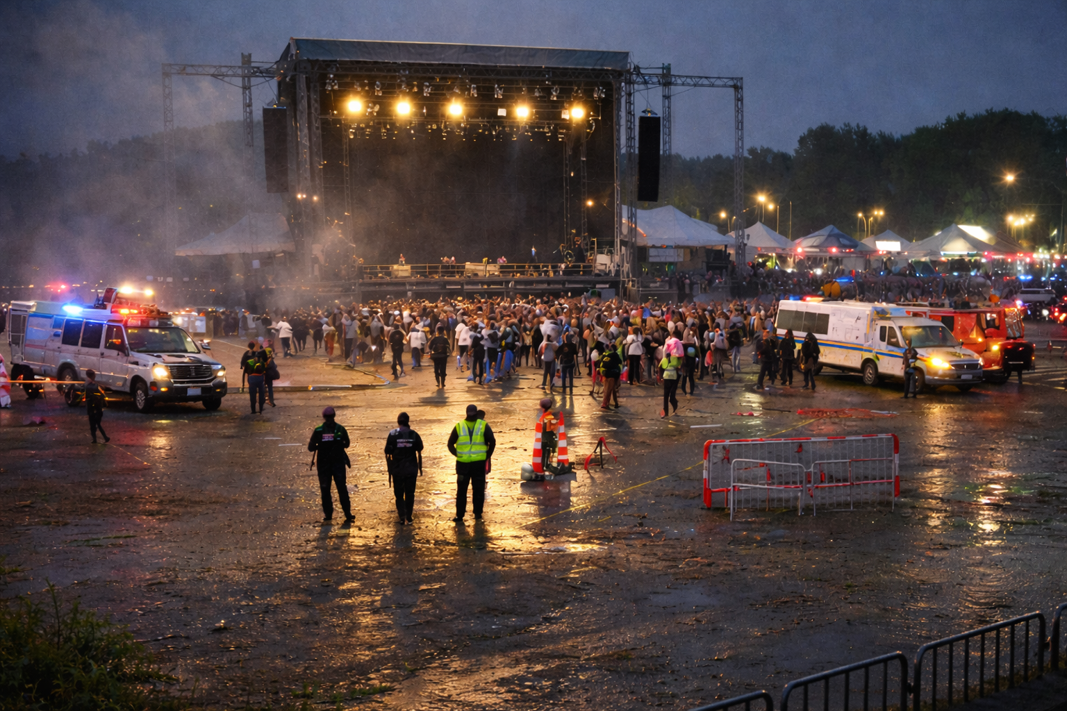 Festival main stage after evacuation · The Capital Observer
An unauthorized drone brought Saturday's headlining set at the Rideau River Music Festival to an abrupt stop after the aircraft was spotted hovering 40 metres above the main stage, forcing evacuation of 23,000 front-of-house attendees.
The consumer-grade quadcopter entered restricted airspace at 9:47 PM and remained overhead for nearly eleven minutes. Festival security confirmed they had no radar, RF detection, or aerial monitoring capability.
"We were completely blind. We had 40 cameras on the ground and not a single one could see what was directly above us."
Paul Breton, Interim Security DirectorTransport Canada noted a 340% increase in unauthorized drone incursions at Canadian events since 2021. The evacuation caused a crush near the east exit; two attendees were treated for minor injuries. Organizers estimate $180,000 in losses.
Unified Aerial Intelligence.
One Feed. Every Team.
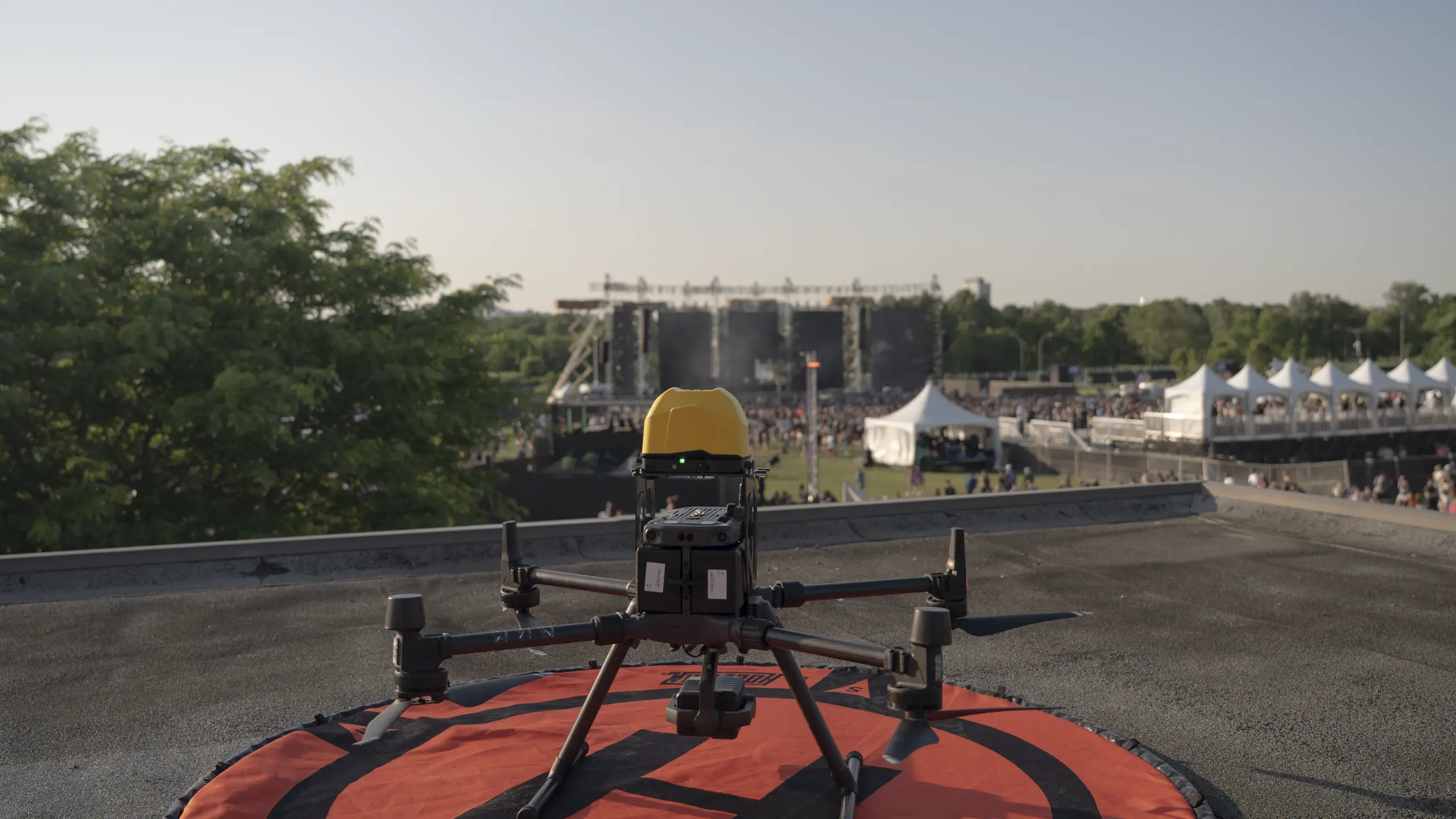
AertactX combines tethered drones, rapid-response drones, and fixed surveillance into a single operating picture: shared live across security, police, EMS, and command.
Solution Overview
AertactX provides advanced aerial surveillance solutions designed to enhance security operations at large-scale events.
With a focus on real-time monitoring and situational awareness, AertactX integrates tethered drones,
non-tethered drones, and fixed surveillance systems into a comprehensive security framework.
This multi-layered approach ensures continuous coverage, rapid response capabilities, and seamless integration with existing
security infrastructure.
Tethered drones deliver persistent overwatch, while non-tethered drones enable on-demand deployment
for targeted monitoring of specific areas. Fixed surveillance assets further enhance coverage, allowing teams to respond proactively as conditions evolve.
This provides scalable monitoring aligned with strict security protocols, supporting real-time video
intelligence, rapid threat detection, and faster decision-making.
Transport Canada compliant
AertactX ensures aerial surveillance operations comply with Transport Canada regulations, including securing the required Special Flight Operations Certificates (SFOCs) for advertised events. We manage the application process, risk assessments, and safety protocols to ensure smooth, defensible, and legally compliant deployments.
Persistent Overwatch
Continuous bird's-eye situational intelligence across your entire venue: from setup to teardown.
Long-Range Optical Zoom
High-performance zoom for detailed observation of key areas without compromising altitude or coverage.
Perimeter Surveillance
Continuous coverage of fencing, exits, and restricted zones to maintain full perimeter integrity.
1 KM Dispersal Zone Coverage
Extended surveillance beyond the venue boundary: monitoring crowd dispersal and perimeter safety.
Ingress Monitoring
Track entry patterns, detect bottlenecks, and monitor access points for secure, orderly ingress.
Parking & Traffic Flow
Overhead monitoring of lot capacity, vehicle flow, and road congestion invisible from ground level.
Transit & Rideshare Coordination
Aerial views of bus staging, rideshare queues, and taxi ranks: preventing ground-level gridlock.
Crowd Density & Flow Analysis
Identify congestion, movement trends, and behavioral anomalies across the venue in real time.
Egress & Dispersal Monitoring
Track exit flows in real time. Identify delays and security concerns during crowd dispersal.
High-Risk Zone Monitoring
Surge detection and rapid incident response near the stage, pit, and front-of-house.
Suspicious Activity Tracking
Follow and assess unusual behavior from an unobstructed aerial vantage point.
Force Multiplier
Aerial oversight enhances ground security operations by providing wide-area visibility and real-time intelligence to support personnel on the ground.

"We finally have one shared live picture of entrances, parking flow, crowd density, and dispersal routes, enabling security, police, and medical teams to coordinate faster, identify issues earlier, and respond with confidence. " — Event Security Director, Escapade 2025
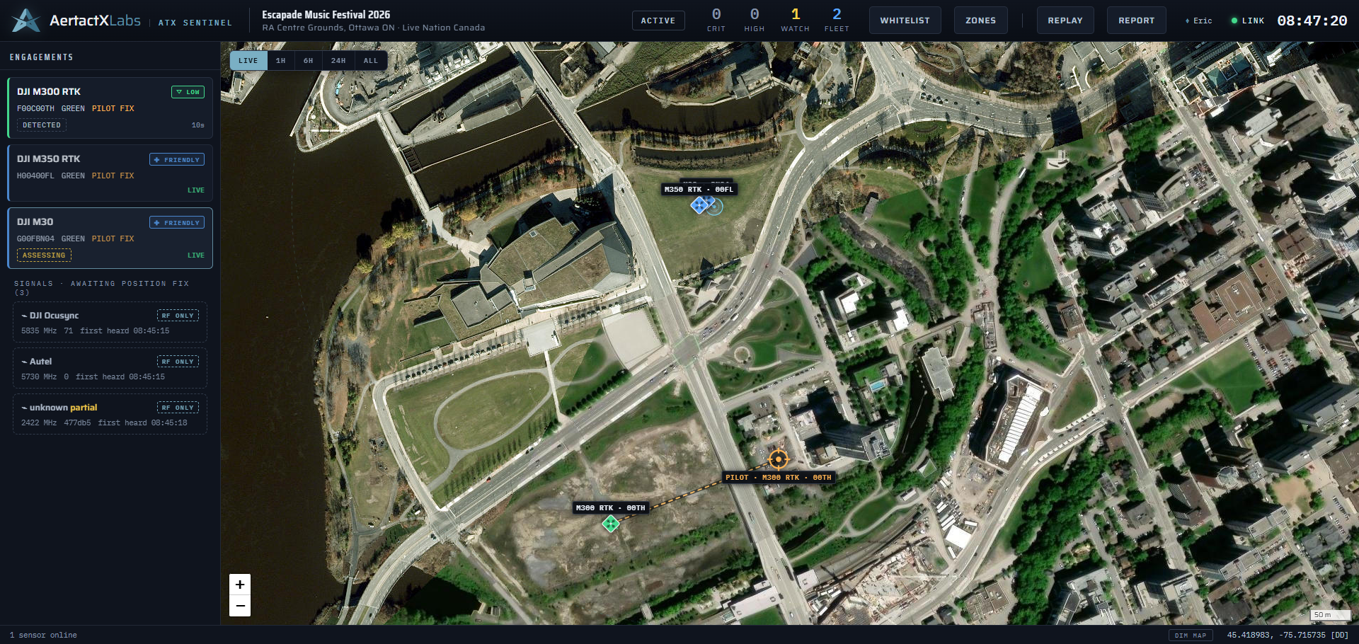
Drone Detection
as a Service.
ATX Sentinel is our purpose-built counter-UAS common operating picture. It detects, classifies, and tracks unauthorized drones and their operators in real time. Your command team gets the pilot's location, the aircraft's flight history, and a complete post-event record built to Transport Canada standards. Developed by AertactX Labs and deployed as a fully managed service by AertactX.
Live Common Operating Picture
Every drone, every pilot location, and every threat level on one real-time map. Your entire command team works from the same picture.
Pilot Location & Intercept
The pilot's coordinates, bearing from venue centre, and a one-tap dispatch package. Copied to clipboard or handed off by QR code to any phone.
Flight History & Pattern Analysis
Every flight is saved permanently: path, altitude profile, protected-space dwell time, and launch point. Returning aircraft are flagged automatically.
Regulatory-Ready Reporting
After the event you receive a complete post-event report: every aircraft detected, every operator action taken, altitude exceedances, and protected-space incursions. A professional deliverable for your records.
Threat Classification & Countdown
Automatic threat assessment with projected time-to-perimeter. Inbound drones trigger escalating alerts and a live countdown visible to the entire team.
Guided Engagement Workflow
Detect, assess, dispatch, resolve. Every step is attributed, timestamped, and written to the deployment record. The system carries the procedure so your crew carries the response.
to map
coverage
to any phone
RF interference
Classified Aircraft Types
Pair Sentinel drone detection with our aerial surveillance and tethered overwatch. One command feed, one crew, one post-event report covering both the airspace and the ground.
Certified. Compliant. Proven.
Every deployment is backed by operational credentials: not just certifications on paper but experience proven in the field.
Tailored Surveillance.
For Every Event.
Every event has different risks, terrain, and coordination needs. We configure our systems to match.
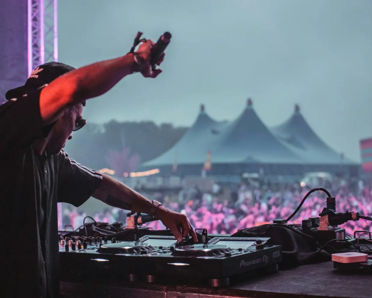
Music Festivals & Concerts
Multi-stage festivals with dynamic crowds, complex terrain, and 24-hour operations. Your teams need complete visibility from entry to exit, day and night. We provide persistent aerial coverage over stages and crowds, rapid-response drones for emerging situations, and thermal imaging for overnight camping zones.
Government & Municipal Events
Public gatherings demand strict regulatory compliance, multi-agency coordination, and documented accountability. We integrate with police, fire, and municipal operations to deliver shared situational awareness with complete post-event documentation.
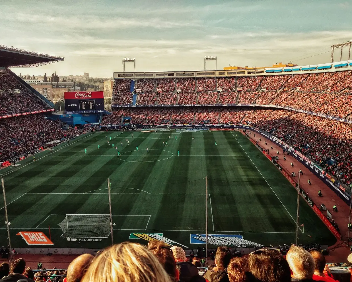
Sporting Events
Stadium events, marathons, and outdoor competitions often involve complex crowd management and large perimeters. We monitor parking infrastructure, entry choke points, and crowd flow simultaneously, giving your operations team a complete picture before, during, and after the event.
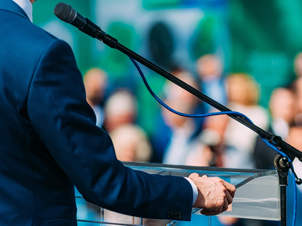
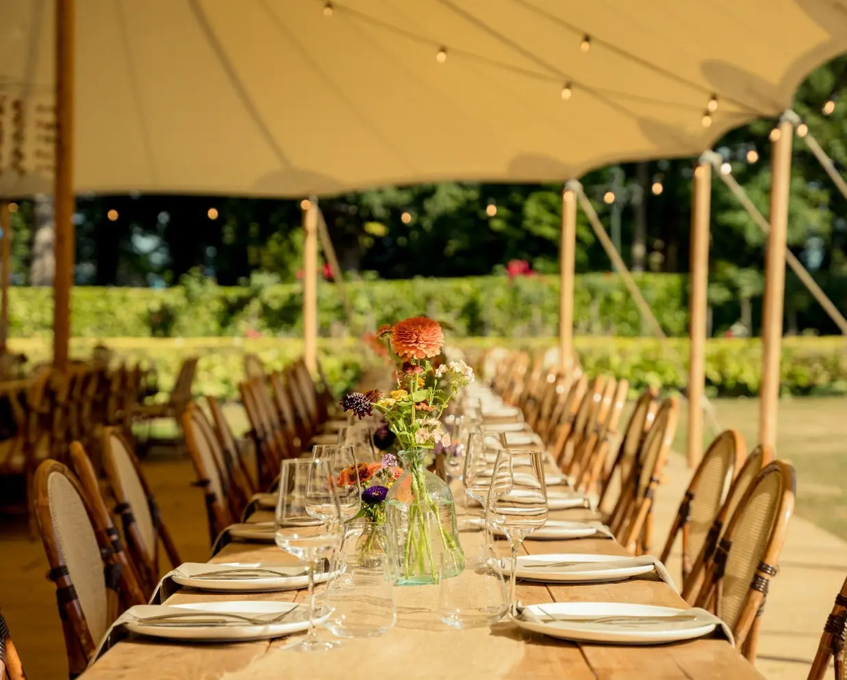
Corporate & VIP Events
High-profile gatherings, executive retreats, and private functions requiring discreet aerial security. Our systems operate unobtrusively while providing comprehensive perimeter monitoring, access control oversight, and rapid incident response capability.
Cinematic FPV Capture.
Our pilots are already on site. Add cinematic FPV footage that captures the scale, energy, and atmosphere of your event from angles ground cameras simply cannot reach.
Enquire about FPV captureBuilt on operational credibility
SAR-trained. Field-proven. The experience behind every deployment.
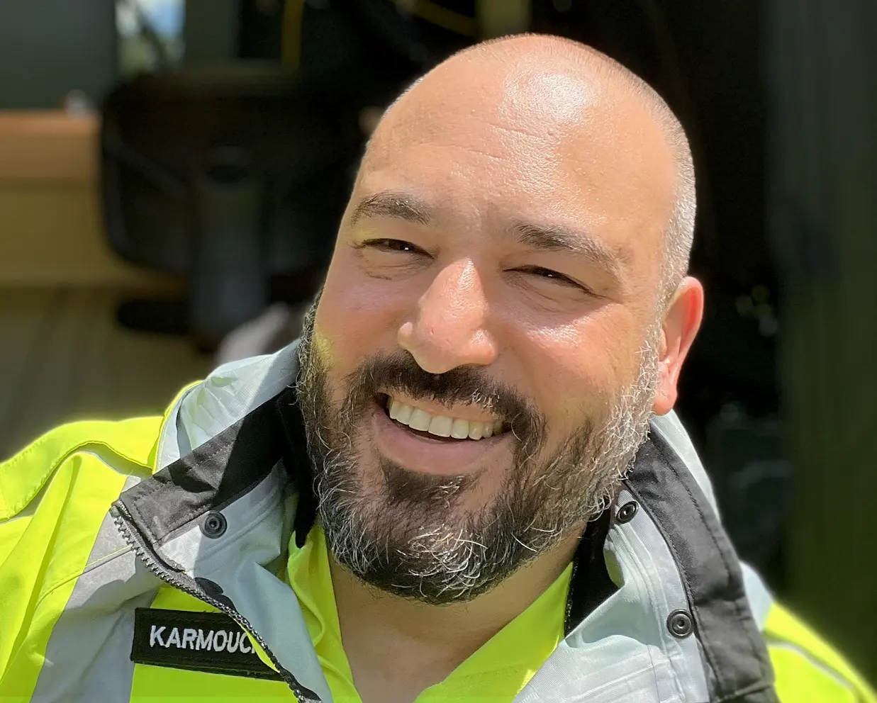
Eric Karmouch
Founder & CEO8+ years in unmanned systems and 6 years in professional video surveillance. Founded AertactX to bring SAR-grade operational excellence to event security: applying the same methodology used to save lives to keeping events safe.

Rob Hargarty
Chief Pilot30+ years Ottawa Police Force. Brings deep expertise in public safety, crowd management, and multi-agency coordination, the operational judgment that only comes from decades on the ground.
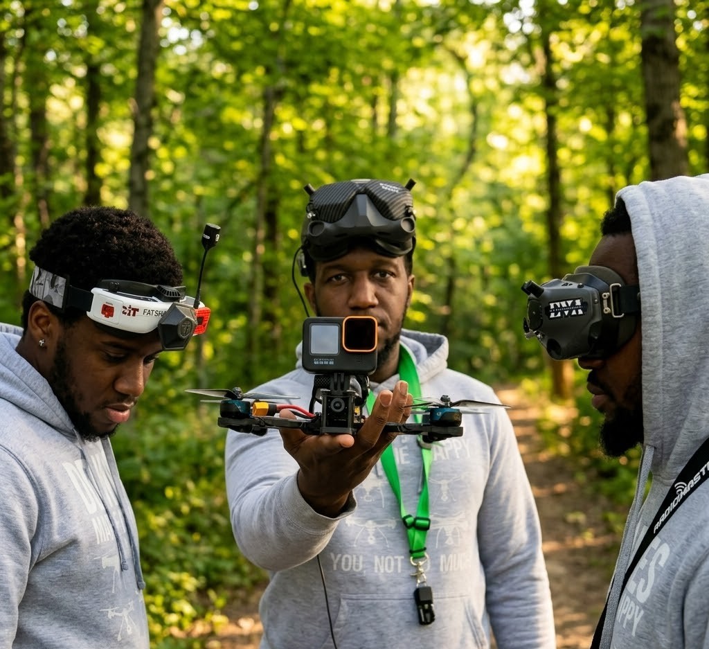
Sam Moses
Cinematic FPV Pilot7+ years in high-performance FPV and advanced aerial systems. Specialized in UAS and custom FPV build expertise, to deliver close-proximity cinematic capture where traditional platforms can't go.